ABOUT RSI > Benn Eilers
Benn Eilers, Engineer Intern
Education
- M.S., Mechanical Engineering, Oregon State University, 2010
- B.S., Mechanical Engineering, Oregon State University, 2002
Affiliations
- American Fisheries Society
Registrations
- Engineer Intern
No. 87515 EI, State of Oregon
Years of experience
- 20 yrs.

Benn has been involved in environmental restoration work for over 20 years. His expertise lies in combining his natural resource experience with an engineering education in order to analyze and evaluate environmental concerns and develop sound scientific based solutions. His strong mathematical background enables the development and use of a variety of computational models in order to examine existing problems and test a multitude of possible solutions. Benn has experience with many remote sensing platforms including aerial LiDAR data collection and processing, RTK GPS, and hydroacoustics. In addition to standard bathymetric surveying, Mr. Eilers also has significant experience using hydroacoustics for fisheries assessments, macrophyte mapping, as well as bottom typing with field verification.
Benn has been working for RSI for five years and filled a variety of pivotal roles in facilitating restoration work throughout Central and Eastern Oregon. His extensive modeling experience using a variety of software platforms has allowed for the effective and efficient design of many in-stream projects. Benn is well versed in hydrologic analysis, including peak flow analysis and stream flow forecasting. Having over 8 years of stream simulation experience including 1D, 2D, and 3D models provides Benn with the background necessary to simulate a wide variety of flow scenarios in order to closely examine hydraulic characteristics during the design process.
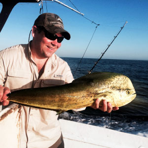
Benn has called Central Oregon home for 15 years and spends much of his free time pursuing the fish in the local lakes and rivers.
Experience
- 20 years of experience using GIS for restoration and natural resource analysis
- 10 years bathymetric and terrestrial surveying experience
- 8 years of experience with 1D, 2D, and 3D water flow modeling
- 5 years of experience with stream restoration design and implementation
- 2 years of experience with LiDAR data collection and processing
